Navigation Without a Compass: Sun, Slope, and Drainage Cues
Most lost-in-the-woods stories do not involve a missing compass. They involve a person who was sure of the direction they were walking and never checked it against anything. The habit worth building is constant, cheap verification, using cues that are always available rather than a tool that lives in a pocket.
Know the big picture before the detail
Before you need to navigate, know the shape of the country: which way the main ridges run, which way the water drains, where the road and the trailhead sit relative to each other, and what the far side of the valley looks like. That knowledge turns every later observation into a check rather than a guess.
This is why the walk in matters. Look backward on the way out, because the terrain you will need to recognize is the terrain as seen from the other direction, and it looks different enough to fool people who only studied the map.
The sun, and what it can and cannot do
The sun rises in the east and sets in the west, and at midday in the northern hemisphere it sits to the south. That gives a rough axis in the morning, at noon, and in the evening, and a much weaker one in between. The shadow-stick method, marking the tip of a shadow and repeating it fifteen minutes later, gives a reliable east-west line from the movement of the shadow, and it works anywhere the sun is casting a clear shadow.
The limits are real. Near the equator the noon sun is almost overhead and gives very little, and in the tropics the seasonal swing is small. In deep valleys and dense forest you may not see the sun at all for hours, and a shadow on a slope tells you about the slope rather than about the compass.
Watch the direction of the light rather than the position of the sun. In the morning, shadows point west. In the afternoon, east. That single habit will catch a wrong turn more often than any method.
Slope aspect and vegetation
In the northern hemisphere, north-facing slopes are cooler, damper, and often hold snow later and support different plants: ferns, moss, deeper litter, sometimes conifers where the south side is open. South-facing slopes are drier, grassier, and lose snow first. These are tendencies rather than rules, and they are strongest in mid-latitudes and in winter.
Snow is the most readable cue. Patches that persist on a slope in spring mark the shaded side, and cornices and drifts form on the lee side of ridges. In winter travel, the direction the snow lies tells you which way the wind has been blowing, which is often the direction the weather is coming from.
Vegetation also follows water, and water follows the land. A line of trees in open country marks a drainage, and a drainage runs downhill to a valley floor, which runs to a road or a settlement more often than not.
Terrain association is the real skill
Navigation is matching what you see to what the map says, feature by feature: this spur, that saddle, the bend in the creek, the rock outcrop shaped like a thumb. Contour lines tell you the shape of the ground, and reading the shape is what lets you place yourself without a bearing.
Do it constantly rather than occasionally. Every time you stop, name two features and find them on the map. The cost is seconds; the benefit is that you always know roughly where you are, which is the difference between a correction and a search.
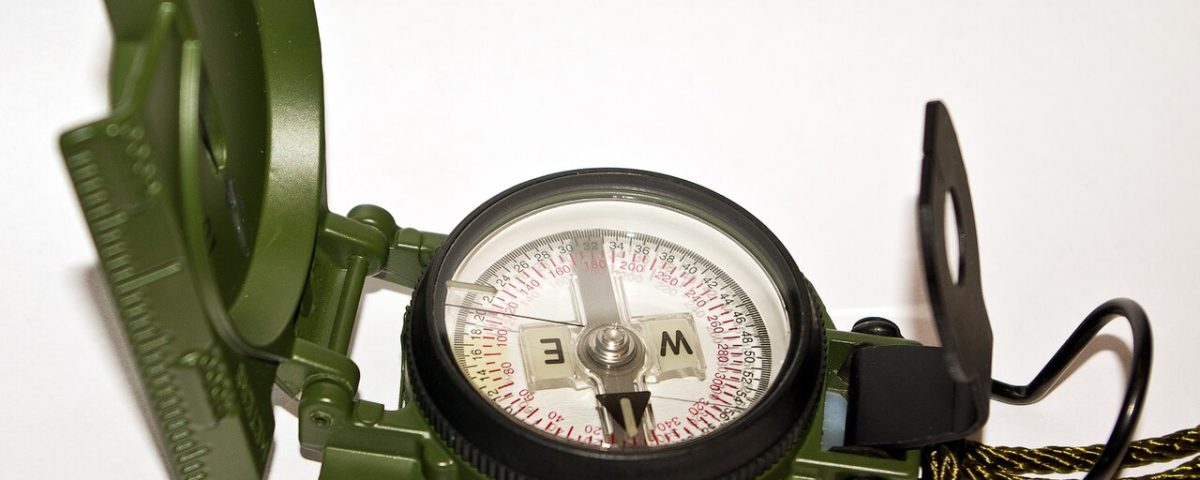
A compass earns its place for a specific job: taking a bearing across featureless ground, following a line in fog or whiteout, or confirming that a suspicious slope is the one you think it is. It is a precision tool, not a substitute for paying attention.
When the cues fail
Overcast, flat, and green is the failure case. No sun, no views, uniform forest, and every direction looks the same. In that terrain, sun and slope cues are worthless, and the honest answer is to use a compass, follow a linear feature such as a stream or a road, or stop and wait for better visibility.
Deep canyons and dense conifer stands break line of sight and distort your sense of distance, and people consistently overestimate how far they have walked on rough ground. Time and pace counting help, but they drift.
The other classic failure is following water downhill without thinking. It leads to people, eventually, but it also leads over waterfalls, into impassable gorges, and into private land. Downhill is a direction, not a plan.
Carry the compass and the map, and use them before you are unsure. The instrument is cheap; the habit of checking is what keeps you found.
And say your plan out loud to someone who will notice when you are late. That is navigation too, and it is the part that works even when you are wrong.